
 Facebook
 X
X
 Pinterest
 Copy Link
Hike and Soak at the Diamond Fork (Fifth Water) Hot Springs Trail
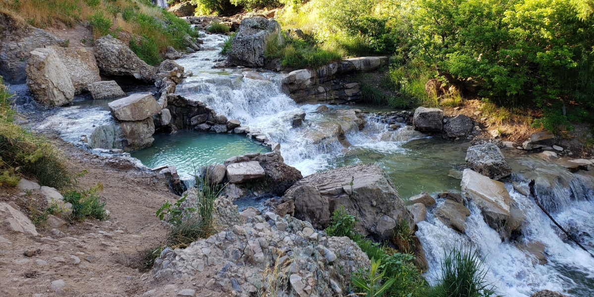

Fifth Water Hot Springs
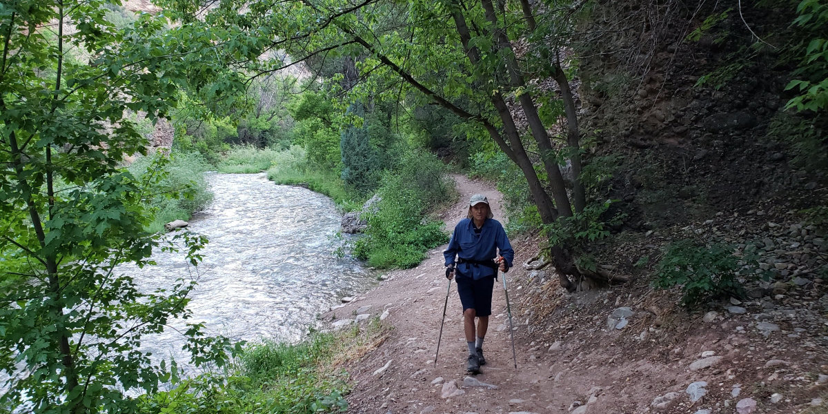
Enjoy a scenic hike on the Diamond Fork Hot Springs Trail, and take a leisurely soak in the hot springs before heading back. It is a 4.5 miles in and out trail with a gradual elevation gain of approximately 700 feet. The trail is mostly shaded and runs alongside the water. Listening to the sounds of the running water and the birds singing makes it a very pleasant walk.
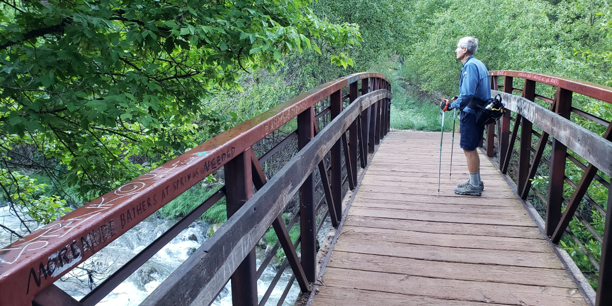
When you reach the bridge, you are approximately half way to the hot springs.
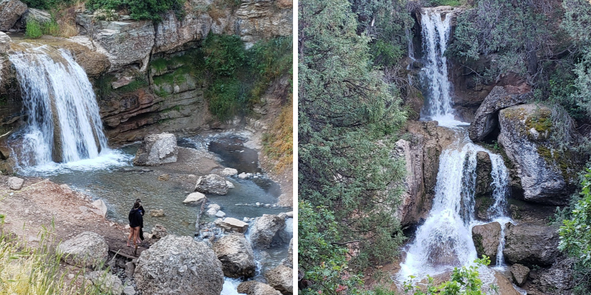
As you get closer to the hot springs you will begin to smell sulfur. The main pools are below the first waterfall.
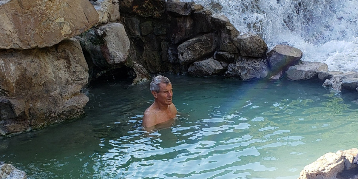
A second waterfall is located just a short way above the first one. There are two soaking pools along the stream between the first and second waterfall.
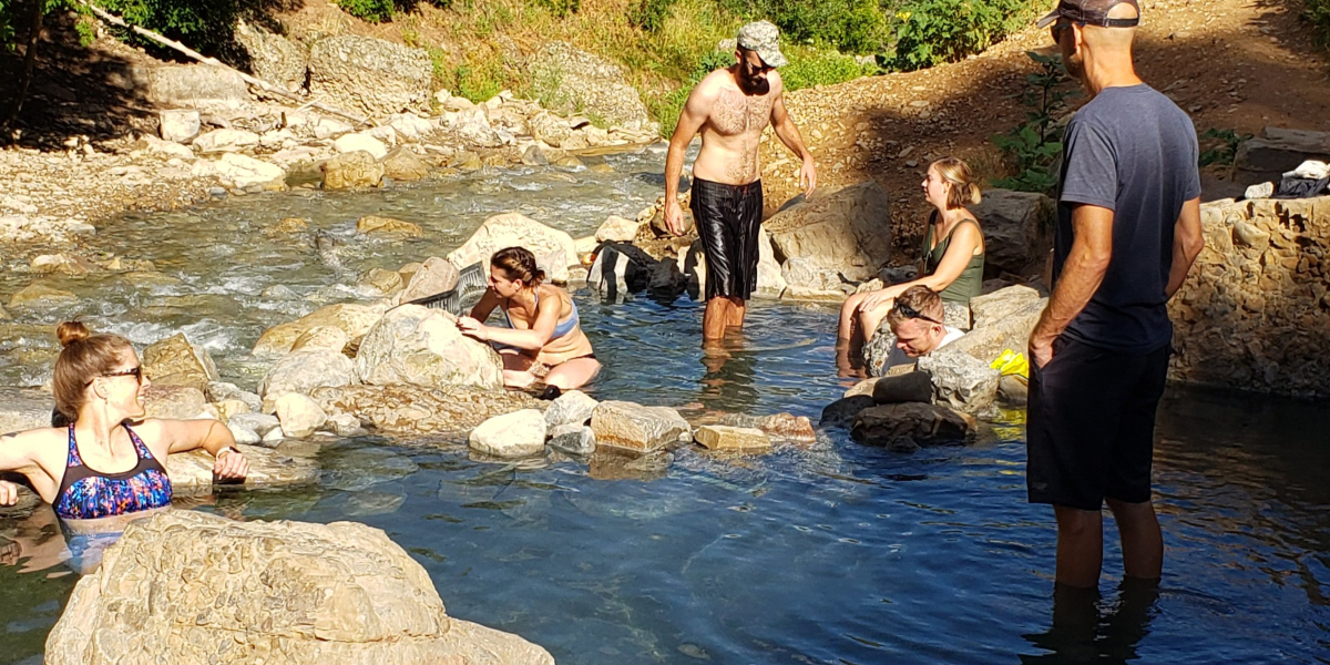
Dogs are permitted on the trail, but must be kept on a leash. Dogs are not permitted in the hot springs. There are no fees to park or to use the hot springs.
Be aware that rattle snakes as well as non-poisonous western hognose snakes aka “blow snake” may be found on or near the trail or by the hot springs. It is best to ignore them and they will ignore you.
It is important to not leave food or garbage on the trail, because it will attract rodents, which then attracts the snakes. Please be sure to carry out everything you bring in.
Another option for picnicking would be to stop at the Red Ledges Picnic Area (approximately 3 miles south of the 3 Forks Trailhead parking lot). It offers picnic tables, grills and restrooms. There are also red rock formations and an arch created by wind and water to explore.
Click for information about campgrounds.
Directions: It is approximately a one hour drive south of Salt Lake City. Take the Spanish Fork Exit 257 off of I-15, and head east on Hwy 6 for 11 miles. Turn left for the Diamond Fork Campground. Continue driving for 9.9 miles to the parking lot for the 3 Forks Trailhead. The trail starts at the gate near the restrooms.
Additional hikes you may enjoy:
Take a Seat on the Living Room Hiking Trail
Ogden’s Waterfall Canyon Trail
Moonshine Arch – Hidden in Plain Sight
Fall Foliage Makes the Wind Cave Trail a Colorful Hike
Fall Foliage Makes the Wind Cave Trail a Colorful Hike
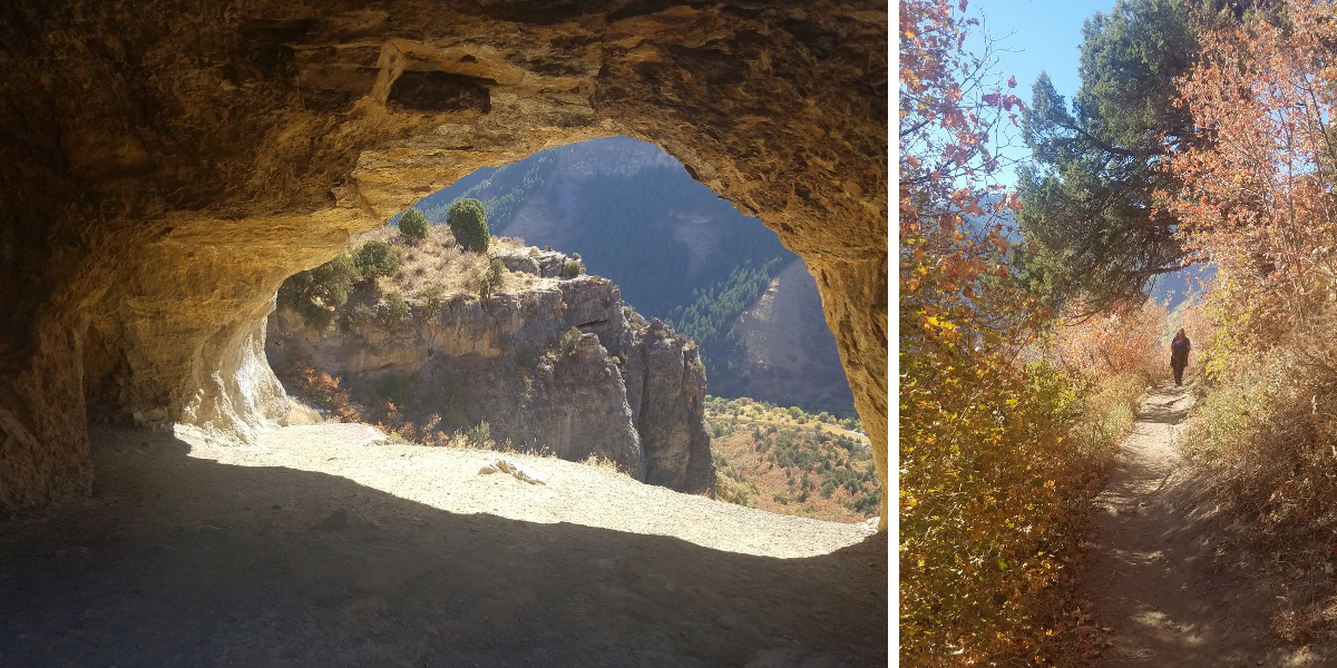

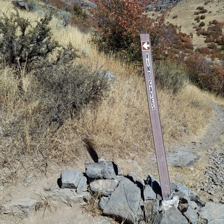
Wind Cave Trail, Logan, Utah
Fall is the ideal time to hike the Wind Cave Trail to see the colorful foliage. Driving approximately 5 miles up the Logan Canyon National Scenic Byway, you will find the Wind Cave trailhead across the road from the Guinavah-Malibu Campground.
The Wind Cave is composed of a group of natural limestone arches and hollows. It was formed as water seeped through cracks in layers of underground limestone, creating caverns. Downward cutting from the Logan River exposed the caves, and the arches were created by water continuing to erode the limestone.
The trail is rated moderate with an elevation gain of approximately 1000 feet. It is 3.5 miles round trip. The elevation gain does not appear as steep due to switchbacks. The trail is well maintained and is clearly marked. If there is an unmarked trail that leads off, stick with the wider trail.
There is shade for the first half of the trail; however the last half does not have shade. It is advisable to dress in layers, wear a hat and protection from the sun. Be sure to bring plenty of water.
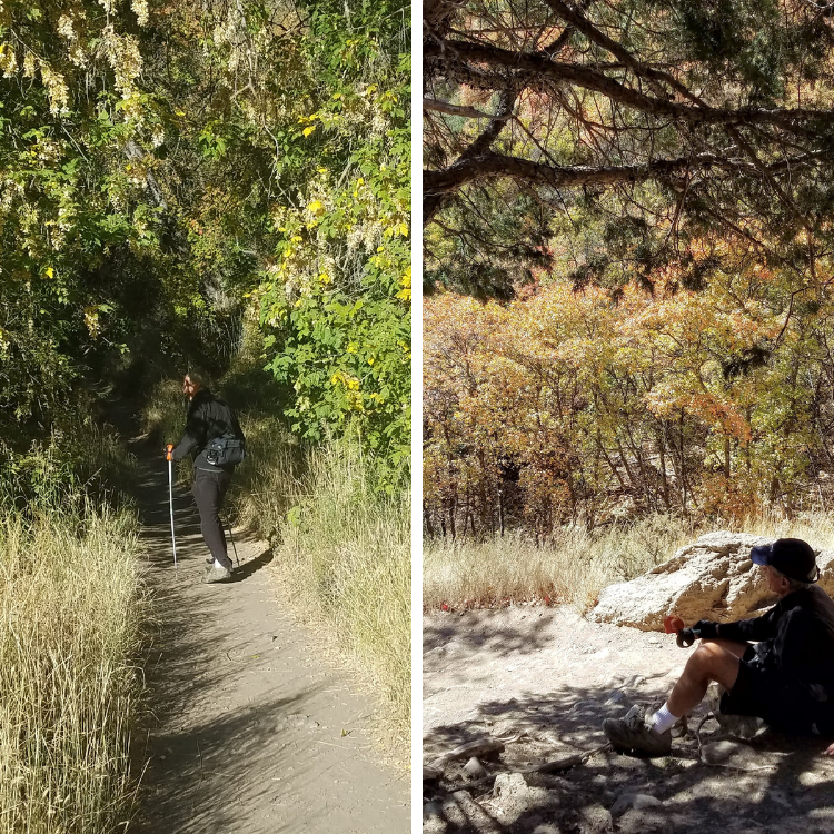
The trail is heavily trafficked at times, particularly during the weekends. If you prefer to hike when less people are on the trail, weekdays are a good option. Dogs on leashes are permitted.
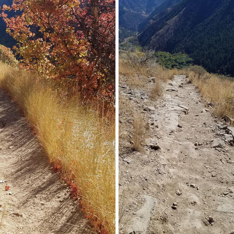
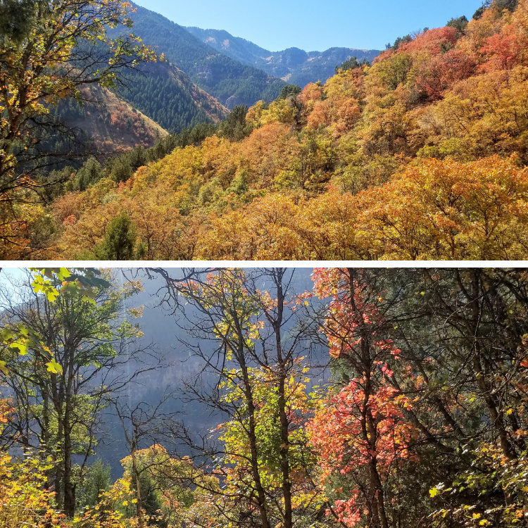
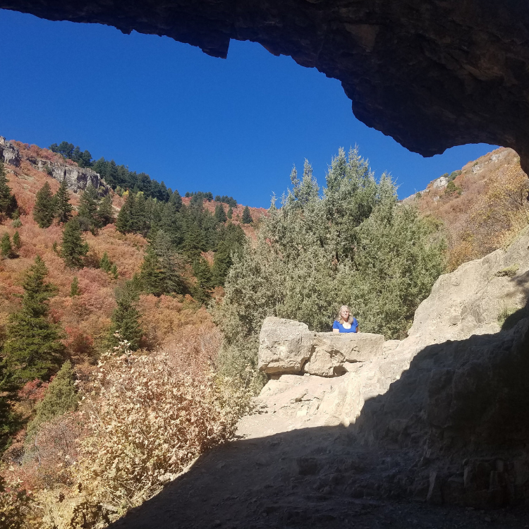
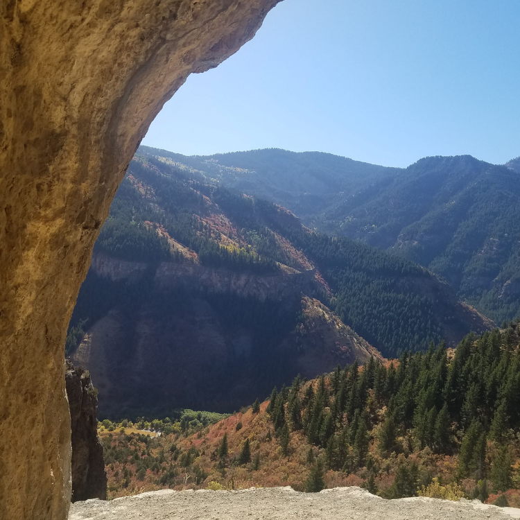
The Wind Cave Trail is extra colorful with the fall foliage
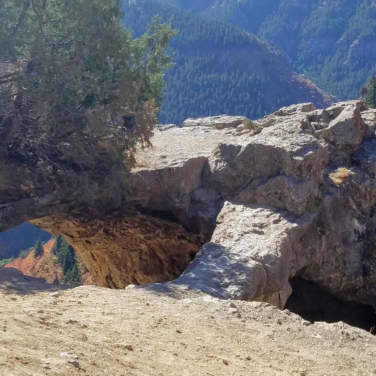
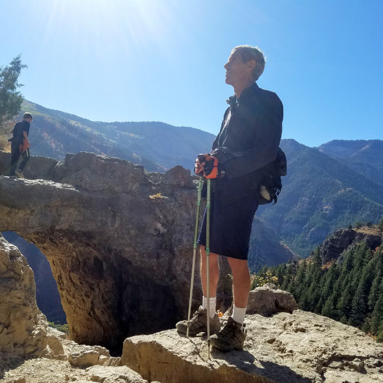
The end of the trail leads to the top of the cave. If you have children with you, be sure to watch them carefully as there are steep drop-offs. You can climb down into the cave and explore the alcoves. It is a great place to rest in the shade of the cave and take photos of the gorgeous views.
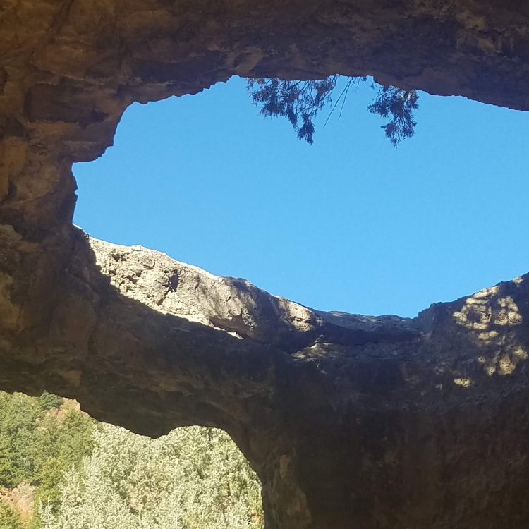
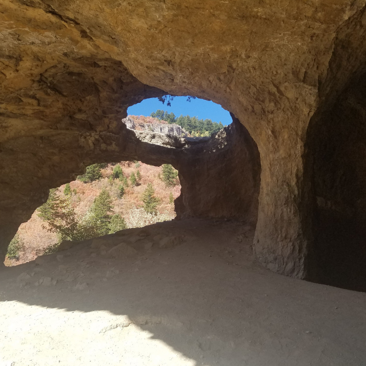
The Wind Cave has two alcoves
Other interesting hikes:
Ogden’s Waterfall Canyon Trail
Moonshine Arch – Hidden in Plain Sight
Cascade Springs – Accessible Nature Walk
Take a Seat on the Living Room Hiking Trail
The Maybird Gulch Trail – A Trail Less Travelled
